FAQs
- Official Plans often contain Secondary Plans. A Secondary Plan helps to better understand the unique opportunities and issues related to population growth in a specific geographic area, like a downtown.
- The policies of the Secondary Plan shape the vision for land use patterns and other key features of the local area. It can direct how land can be used, (e.g. housing, commercial and office uses, industrial uses, etc.), where buildings and roads would be located, the height and design of buildings, where parks, public spaces, and schools may be located, and what types of transportation options could be supported.
- The policies in a Secondary Plan are intended to build healthy, complete, and sustainable communities.
- Whitby’s population is growing and is forecasted to reach approximately 193,000 by 2031. The Province provides legislation and policies that direct regional and local municipalities to help guide and manage this growth.
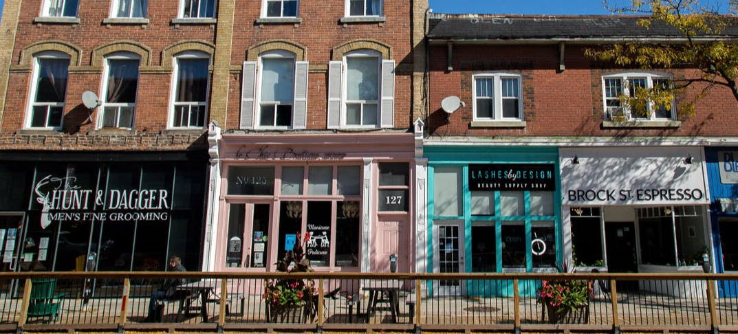
- The Downtown Whitby Secondary Plan was adopted in 1989. Not only have provincial and regional policies changed since then, but so have population growth dynamics. An update is required to manage local growth and development in a sustainable manner that is appropriate for the unique downtown area.
What is an Official Plan?
Official Plans, such as the Durham Region Official Plan, and the Town of Whitby Official Plan, contain a vision, objectives and policies adopted by Council that aim to create and sustain an attractive, livable community for all of its citizens. Official Plans aim to manage the long-term impacts of population and employment growth in a sustainable manner, including impacts on land use, housing, employment, transportation, the natural environment, and leisure opportunities.
What is a Secondary Plan?
Why is the Downtown Whitby Secondary Plan being updated now?
How does the update relate to the downtown and individual properties?
The update will look at neighbourhoods in the Downtown Whitby Study Area. The Study Area is bound by Canadian Pacific Rail line to the north, Garden Street to the east, Highway 401 to the south and Cochrane Street to the west.